MC3E
Mid-latitude Continental Convective Clouds Experiment
Location: Offutt, NE | Coordinates: 41°07′10″N 095°54′31″W
- HIWRAP was configured in a nadir pointing configuration on the ER-2 in support of the Global Precipitation Mission (GPM) ground validation.
- Focus was on obtaining combined radar-radiometer data sets for GPM algorithms development.
- The ER-2 carried HIWRAP, AMPR, and CoSMIR.
- MC3E was based at Omaha, Nebraska.
- There were 10 science flights near or over the Oklahoma DOE Southern Great Plains (SGP) site. There were two calibration flights over the Gulf of Mexico.
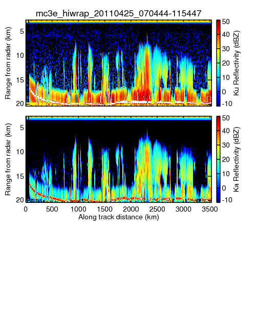
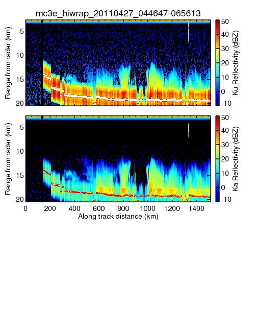
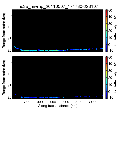
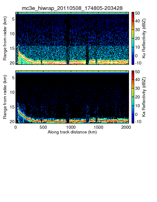
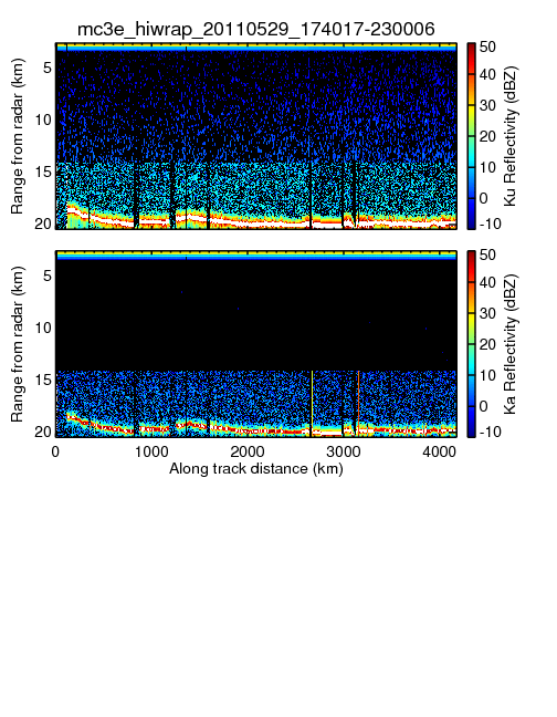
QLOOK_HIWRAP
NETCDF_HIWRAP
- mc3e_hiwrap_20110425_070444-115447_chirp.nc
- mc3e_hiwrap_20110427_044647-065613_chirp.nc
- mc3e_hiwrap_20110507_174730-223107.nc
- mc3e_hiwrap_20110508_174805-203428.nc
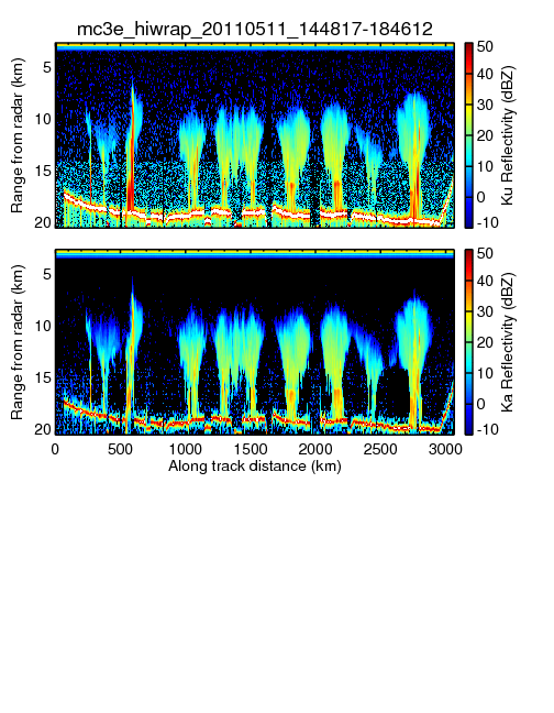
- mc3e_hiwrap_20110511_144817-184612.nc
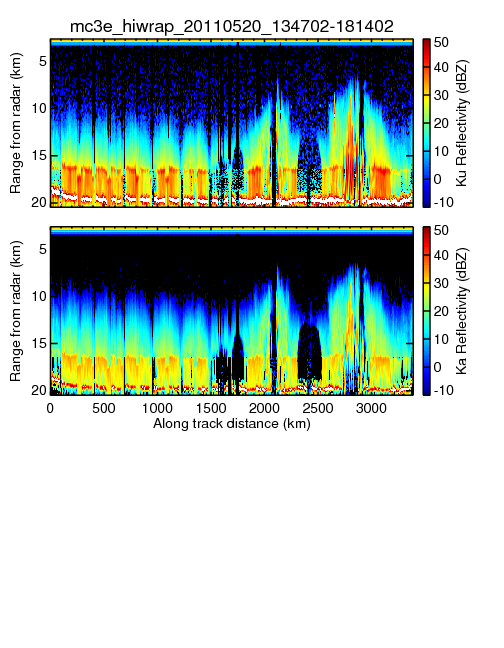
- mc3e_hiwrap_20110520_134702-181402.nc
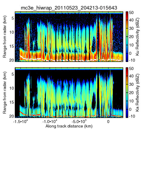
- mc3e_hiwrap_20110523_204213-015643_chirp.nc
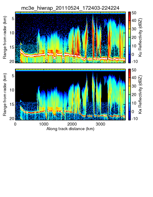
- mc3e_hiwrap_20110524_172403-224224.nc
- mc3e_hiwrap_20110529_174017-230006.nc
NETCDF_HIWRAP_with_Doppler
- mc3e_hiwrap_20110425_070444-115447chirp.nc
- mc3e_hiwrap_20110427_044647-065613chirp.nc
- mc3e_hiwrap_20110507_174730-223107chirp.nc
- mc3e_hiwrap_20110508_174805-203428chirp.nc
- mc3e_hiwrap_20110511_144817-184612chirp.nc
- mc3e_hiwrap_20110520_134702-181402chirp.nc
- mc3e_hiwrap_20110523_204213-015643chirp.nc
- mc3e_hiwrap_20110524_172403-224224chirp.nc

